Royale Maps
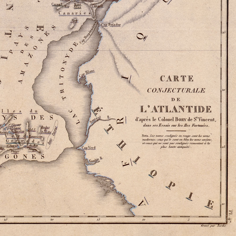
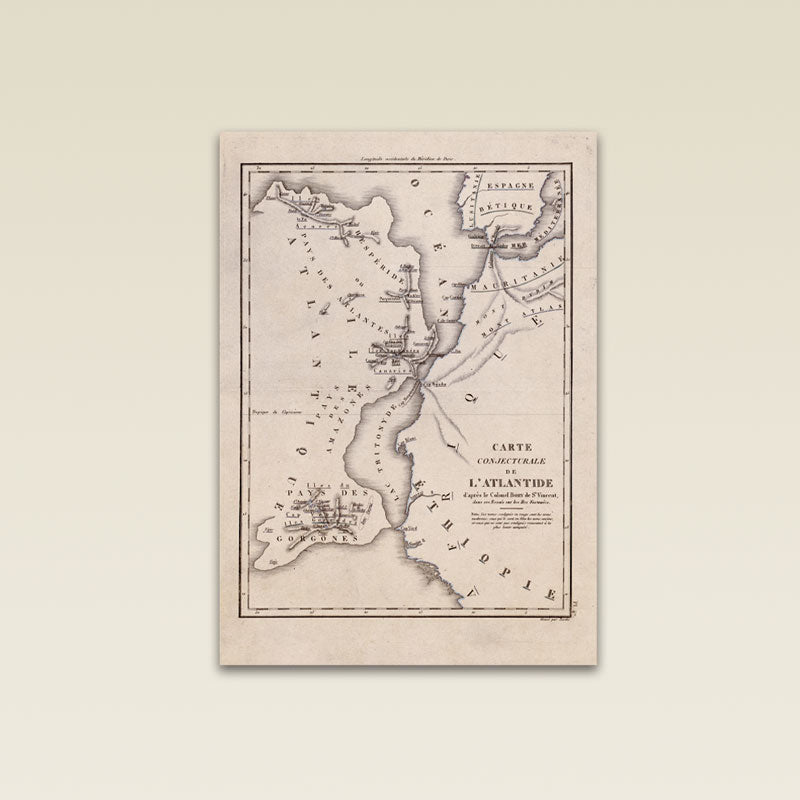
Map of Atlantis by Bory de St Vincent.
Map of Atlantis by Bory de St Vincent.
Antique map re-print.
Couldn't load pickup availability
MAP STORY
Map of Atlantis by Bory de St Vincent, dated 1800-1805, size 8x10".
Bory de St Vincent, an educated French politician and naturalist, believed Atlantis to be the original home of all civilisation.
In his book "Essais sur les isles fortunées", he theorises that the island of Atlantis had suffered two blows. The first, after a volcanic eruption in the Mediterranean that reduced the Island by half. The second, after the Atlanteans were defeated by the Athenians and what was left of Atlantis sank, leaving only the islands of the Canaries, Madeiras, and the Azores as remnants.
Bory de St Vincent might have gotten his idea from J.P de Tournefort who, a century earlier, suggested that an earthquake in the Mediterranean had sent a rush of water to wash over Atlantis.
Bory de St Vincent illustrated a map: "Carte conjecturale de l'Atlantide", to support his argument.
Share


Technicalities
-

"Poster Hanger" Option (if available):
- Natural FSC hardwood wood with heavyweight magnets.
- Carefully protected and shipped in the tube with your print.
- Back string included.
-
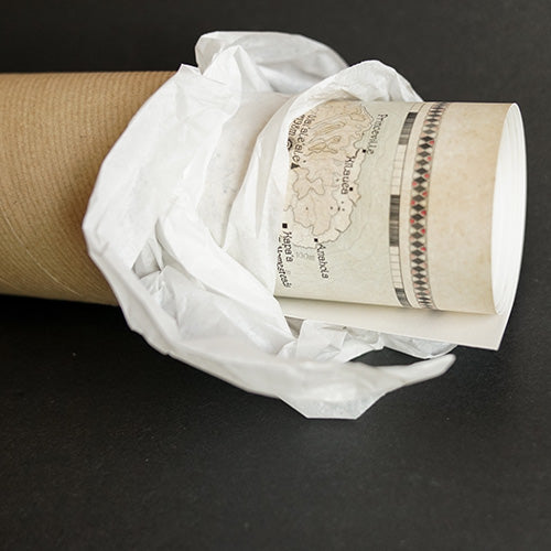
"Print Alone" Option:
- Printed on 200 gsm heavyweight archival museum etching paper.
- Giclée printed with natural pigments for vibrancy.
- Shipped rolled in a tube.
-
Your guarantees:
- High quality resolution for the best legibility.
- True reproduction that is high resolution and true to the original map's colors.
- Free shipping & packing.
- No added taxes.
Let customers speak for us
from 14 reviewsLove this Osteichthyes (fish) print, definitely my favorite.
Super good quality and looks great, recommend it to anyone who wants to upgrade their home.
My map is here and beautiful. Takk!
The paper is thick, be careful not to fold a corner while unboxing the map, which I did. Thankfully it' now hidden by the frame! The artwork is brilliant, all about natural aspects of the islands.
Absolutely beautiful and is the perfect gift!
God bless!
I purchased the map to decorate the lobby of our agency.
It adds a nice touch of warmth, and was noticed by a customer on the first day of hanging it up. It's great to start conversations about our beautiful state.
i set out to find a nice map of Hawaii for the office, and believe i've found the best. The only one that's up to date, that you can actually read and the artwork is absolutely gorgeous. Really happy with my order.
Mesmerizing... I love it, thanks!
A stunning map of this incredible place. I purchased this map for my husband who resided in the IOM for 26 years. The detail are amazing and heartwarming. I ordered this map from Canada and this company was exceptional to deal with. Our map arrived in excellent condition and in a timely manner. I would recommend.
Beautiful work. Although I moved out, I still have family in Florida. I love it, thanks!
The detail and quality of the map is amazing so I just had one framed as a gift for my brother's 40th. My brother and I are Manx so it's awesome to see these maps highlighting the hidden gems of the Isle of Man in such detail.
Highly recommend getting it framed.
Wow, impressed with the product quality, the vibrant colors and the artwork. Now we just need to choose the right frame!
Fast delivery, thanks!
The map looks fantastic in my office. Paper and print quality is miles away from usual posters. Looking forward seeing more maps to decorate other areas of the house.
Congratulations To the designer! This map is so beautiful, its a very good memory from Mann.
A beautiful map. Fine details leave plenty to discover. My order was despatched quickly and arrived safe and secure, all the way to Australia! Well done team !
-

FREE TRACKED DELIVERY
On all your orders
-

PERFECTLY WRAPPED
For safe & secure transit
-

DESIGN EXCELLENCE
Original British Cartography


